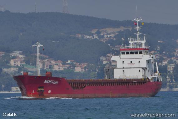
 MOSTEIN
Current Status
Where is the vessel?
MOSTEIN is currently in Near Saint-Malo, based on AIS data received about 14h ago.
Latest AIS update:
Current position: 48.65039° N, 2.01384° W (Near Saint-Malo)
Average speed (last 7 days): Loading…
Average speed (last 30 days): Loading…
Vessel profile: MOSTEIN is a General Cargo with dimensions m x m.
This page combines live AIS, route history, probable destination signals, nearby traffic, and port activity for practical vessel monitoring.
The current position of vessel MOSTEIN is 48.65039 lat / -2.01384 lng. Updated: 2026-05-19 12:24:53 UTCNearest reference points:
- Near Saint-Malo
- Near SAINT MALO
- Near SAINT CAST LE GUIDO
Currently sailing under the flag of Barbados ![]()
Details:
Live Vessel MOSTEIN Analytics (details, animations, etc.)
Recent AIS points (UTC):
2026-05-19 07:51:51 UTC · 48.65041, -2.01382 · SOG 0 kn · COG 263°2026-05-19 10:12:51 UTC · 48.65041, -2.01386 · SOG 0 kn · COG 262°
2026-05-19 10:57:53 UTC · 48.65040, -2.01384 · SOG 0 kn · COG 262°
2026-05-19 12:24:53 UTC · 48.65039, -2.01384 · SOG 0 kn · COG -1°