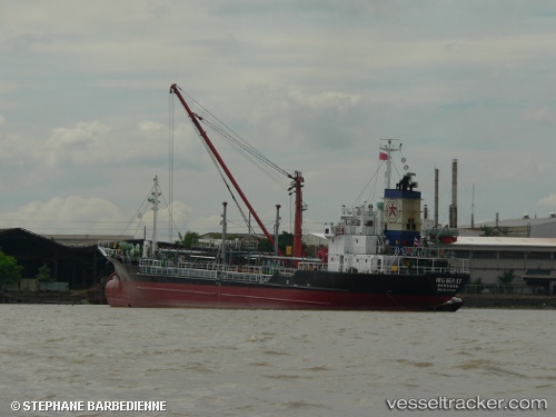
 BIG SEA 17
Current Status
Where is the vessel?
BIG SEA 17 is currently in Near SAMUT SAKHON, based on AIS data received about 1d ago.
Latest AIS update:
Current position: 13.53833° N, 100.24833° E (Near SAMUT SAKHON)
Average speed (last 7 days): Loading…
Average speed (last 30 days): Loading…
Vessel profile: BIG SEA 17 is a Oil Products Tanker with dimensions m x m.
This page combines live AIS, route history, probable destination signals, nearby traffic, and port activity for practical vessel monitoring.
The current position of vessel BIG SEA 17 is 13.53833 lat / 100.24833 lng. Updated: 2026-05-20 22:25:13 UTCNearest reference points:
- Near Nim Port
- Near Unithai Container Terminal
- Near Bangkok Modern Terminals/Bangkok
Currently sailing under the flag of Thailand ![]()
Details:
Live Vessel BIG SEA 17 Analytics (details, animations, etc.)
Recent AIS points (UTC):
2026-05-20 22:25:13 UTC · 13.53833, 100.24833 · SOG 0 kn · COG -1°2026-05-20 22:25:13 UTC · 13.53833, 100.24833 · SOG 0 kn · COG -1°
2026-05-20 22:25:13 UTC · 13.53833, 100.24833 · SOG 0 kn · COG -1°
2026-05-20 22:25:13 UTC · 13.53833, 100.24833 · SOG 0 kn · COG -1°