 ILA
ILA
Current Status
Where is the vessel?
ILA is currently in 11 nm W of Colombo, based on AIS data received about 14h ago.
Latest AIS update:
Current position: 6.93112° N, 79.67170° E (11 nm W of Colombo)
Average speed (last 7 days): Loading…
Average speed (last 30 days): Loading…
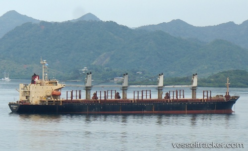
Vessel profile: ILA is a Bulk Carrier with dimensions m x m.
This page combines live AIS, route history, probable destination signals, nearby traffic, and port activity for practical vessel monitoring.
The current position of vessel ILA is 6.93112 lat / 79.67170 lng. Updated: 2026-05-19 07:50:28 UTCNearest reference points:
- 19 nm SW of Bataduwa
- 67 nm SW of Moratuwa
- 38 nm SW of Galle
Currently sailing under the flag of Comoros ![]()
Details:
Live Vessel ILA Analytics (details, animations, etc.)
Recent AIS points (UTC):
2026-05-19 04:53:27 UTC · 6.93192, 79.67101 · SOG 0.5 kn · COG 227°2026-05-19 06:00:09 UTC · 6.93173, 79.67123 · SOG 0.5 kn · COG -1°
2026-05-19 07:41:26 UTC · 6.93164, 79.67126 · SOG 0.2 kn · COG 240°
2026-05-19 07:50:28 UTC · 6.93112, 79.67170 · SOG 0.3 kn · COG 258°