 LUCKY SEA
Current Status
Where is the vessel?
LUCKY SEA is currently in Near Haifa, based on AIS data received about 14h ago.
Latest AIS update:
Current position: 32.87353° N, 35.00165° E (Near Haifa)
Average speed (last 7 days): Loading…
Average speed (last 30 days): Loading…
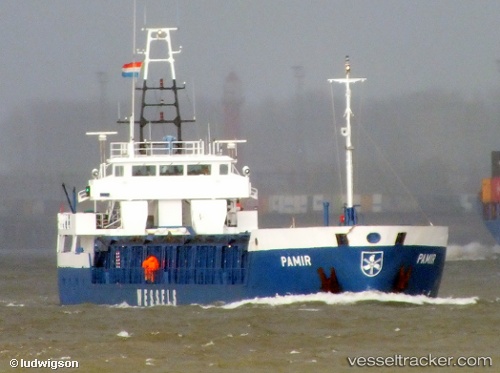
Vessel profile: LUCKY SEA is a General Cargo with dimensions m x m.
This page combines live AIS, route history, probable destination signals, nearby traffic, and port activity for practical vessel monitoring.
The current position of vessel LUCKY SEA is 32.87353 lat / 35.00165 lng. Updated: 2026-05-20 21:25:45 UTCNearest reference points:
- Near Haifa
- 22 nm W of Haifa Granaries
- Near DBAIYEH
Currently sailing under the flag of Palau ![]()
Details:
Live Vessel LUCKY SEA Analytics (details, animations, etc.)
Recent AIS points (UTC):
2026-05-20 09:22:02 UTC · 32.87385, 35.00150 · SOG 0.4 kn · COG -1°2026-05-20 19:31:45 UTC · 32.87318, 35.00168 · SOG 0.4 kn · COG 295°
2026-05-20 21:25:45 UTC · 32.87353, 35.00165 · SOG 0.7 kn · COG 285°
2026-05-20 21:25:45 UTC · 32.87353, 35.00165 · SOG 0.7 kn · COG 285°