 PIA EXPRESS
Current Status
Where is the vessel?
PIA EXPRESS is currently in 56 nm N of Camacha, based on AIS data received about 14h ago.
Latest AIS update:
Current position: 33.98552° N, 16.59423° W (56 nm N of Camacha)
Average speed (last 7 days): Loading…
Average speed (last 30 days): Loading…
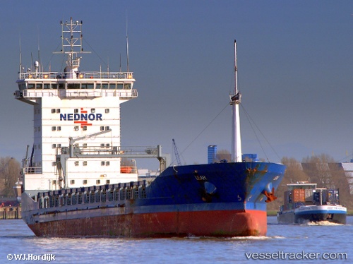
Vessel profile: PIA EXPRESS is a General Cargo with dimensions m x m.
This page combines live AIS, route history, probable destination signals, nearby traffic, and port activity for practical vessel monitoring.
The current position of vessel PIA EXPRESS is 33.98552 lat / -16.59423 lng. Updated: 2026-05-19 10:12:29 UTCNearest reference points:
- 78 nm W of Nedroma
- 109 nm E of Porto Santo Island
Currently sailing under the flag of Liberia ![]()
Details:
Live Vessel PIA EXPRESS Analytics (details, animations, etc.)
Recent AIS points (UTC):
2026-05-19 05:46:00 UTC · 33.81681, -17.65897 · SOG 11.9 kn · COG 81°2026-05-19 07:35:50 UTC · 33.88058, -17.22167 · SOG 12.1 kn · COG 84°
2026-05-19 07:52:38 UTC · 33.88668, -17.15343 · SOG 12.3 kn · COG 84°
2026-05-19 10:12:29 UTC · 33.98552, -16.59423 · SOG 12.2 kn · COG 75°