 vesseltracker.com
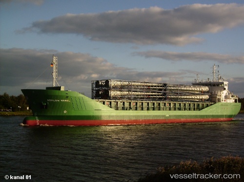
 ADAM A
Current Status
Where is the vessel?
ADAM A is currently in 110 nm SW of Mul Dwårka, based on AIS data received about 14h ago.
Latest AIS update:
Current position: 19.08209° N, 69.85639° E (110 nm SW of Mul Dwårka)
Average speed (last 7 days): Loading…
Average speed (last 30 days): Loading…
Vessel profile: ADAM A is a Bulk Carrier with dimensions m x m.
This page combines live AIS, route history, probable destination signals, nearby traffic, and port activity for practical vessel monitoring.
The current position of vessel ADAM A is 19.08209 lat / 69.85639 lng. Updated: 2026-05-18 14:00:12 UTCNearest reference points:
- 33 nm S of Mul Dwårka
- 236 nm SW of Veraval
- Near Jafarabad
Currently sailing under the flag of Panama ![]()
Details:
Live Vessel ADAM A Analytics (details, animations, etc.)
Recent AIS points (UTC):
2026-05-18 09:24:12 UTC · 19.64112, 69.52722 · SOG 8 kn · COG 153°2026-05-18 10:06:42 UTC · 19.55246, 69.57676 · SOG 8.4 kn · COG 148°
2026-05-18 11:33:13 UTC · 19.37905, 69.67591 · SOG 8 kn · COG 148°
2026-05-18 14:00:12 UTC · 19.08209, 69.85639 · SOG 8.6 kn · COG 148°