 MV:ADRIATIC ROSE
Current Status
Where is the vessel?
MV:ADRIATIC ROSE is currently in 26 nm S of Protória, based on AIS data received about 14h ago.
Latest AIS update:
Current position: 34.62882° N, 25.35019° E (26 nm S of Protória)
Average speed (last 7 days): Loading…
Average speed (last 30 days): Loading…
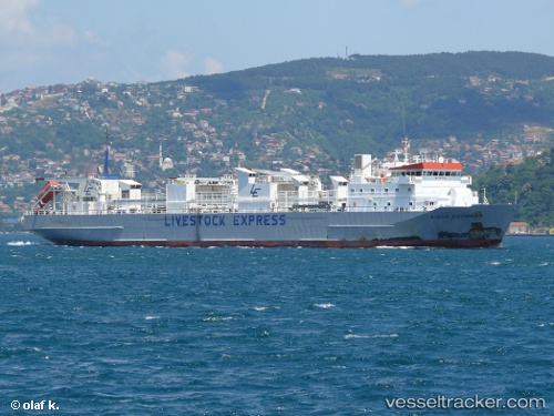
Vessel profile: MV:ADRIATIC ROSE is a Livestock Carrier with dimensions m x m.
This page combines live AIS, route history, probable destination signals, nearby traffic, and port activity for practical vessel monitoring.
The current position of vessel MV:ADRIATIC ROSE is 34.62882 lat / 25.35019 lng. Updated: 2026-05-21 13:08:00 UTCNearest reference points:
- Near Kali Limenes
- Near Iraklion
- 67 nm S of Kali Limenes
Currently sailing under the flag of Saint Kitts and Nevis ![]()
Details:
Live Vessel MV:ADRIATIC ROSE Analytics (details, animations, etc.)
Recent AIS points (UTC):
2026-05-21 09:56:47 UTC · 34.69482, 24.39678 · SOG 14.5 kn · COG 97°2026-05-21 10:50:05 UTC · 34.67310, 24.66446 · SOG 15.1 kn · COG 96°
2026-05-21 11:25:28 UTC · 34.65792, 24.84294 · SOG 15 kn · COG 94°
2026-05-21 13:08:00 UTC · 34.62882, 25.35019 · SOG 14.5 kn · COG 96°