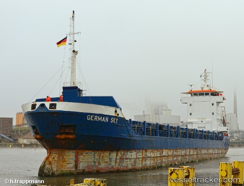
 GERMAN SKY
Current Status
Where is the vessel?
GERMAN SKY is currently in Near Famagusta, based on AIS data received about 15h ago.
Latest AIS update:
Current position: 35.12937° N, 33.94354° E (Near Famagusta)
Average speed (last 7 days): Loading…
Average speed (last 30 days): Loading…
Vessel profile: GERMAN SKY is a General Cargo with dimensions m x m.
This page combines live AIS, route history, probable destination signals, nearby traffic, and port activity for practical vessel monitoring.
The current position of vessel GERMAN SKY is 35.12937 lat / 33.94354 lng. Updated: 2026-05-21 22:52:09 UTCNearest reference points:
- Near Larnaca
- 17 nm S of Vasilikos
- 31 nm SE of Vasilikos
Currently sailing under the flag of Panama ![]()
Details:
Live Vessel GERMAN SKY Analytics (details, animations, etc.)
Recent AIS points (UTC):
2026-05-21 19:16:09 UTC · 35.12935, 33.94351 · SOG 0 kn · COG 321°2026-05-21 19:34:09 UTC · 35.12934, 33.94351 · SOG 0 kn · COG 321°
2026-05-21 22:16:08 UTC · 35.12934, 33.94353 · SOG 0 kn · COG 321°
2026-05-21 22:52:09 UTC · 35.12937, 33.94354 · SOG 0 kn · COG 321°