 Gulf Blue
Current Status
Where is the vessel?
Gulf Blue is currently in Near Damietta, based on AIS data received about 14h ago.
Latest AIS update:
Current position: 31.45400° N, 31.77150° E (Near Damietta)
Average speed (last 7 days): Loading…
Average speed (last 30 days): Loading…
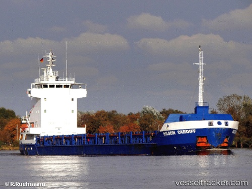
Vessel profile: Gulf Blue is a Multi Purpose Carrier with dimensions 100m x 13m.
This page combines live AIS, route history, probable destination signals, nearby traffic, and port activity for practical vessel monitoring.
The current position of vessel Gulf Blue is 31.45400 lat / 31.77150 lng. Updated: 2026-05-21 16:14:19 UTCNearest reference points:
- Near Damietta
- 21 nm N of Port Said
- 15 nm N of Port Said
Currently sailing under the flag of Antigua Barbuda ![]()
Gulf Blue built in 1997 year
Deadweight:
4444 tDetails:
Live Vessel Gulf Blue Analytics (details, animations, etc.)
Recent AIS points (UTC):
2026-05-21 13:02:19 UTC · 31.45396, 31.77157 · SOG 0 kn · COG 135°2026-05-21 13:50:18 UTC · 31.45397, 31.77157 · SOG 0 kn · COG 136°
2026-05-21 16:11:18 UTC · 31.45395, 31.77155 · SOG 0 kn · COG 133°
2026-05-21 16:14:19 UTC · 31.45400, 31.77150 · SOG 0 kn · COG 133°