 CRONUS H
Current Status
Where is the vessel?
CRONUS H is currently in Near Fort Sherman, based on AIS data received about 14h ago.
Latest AIS update:
Current position: 9.40988° N, 79.97128° W (Near Fort Sherman)
Average speed (last 7 days): Loading…
Average speed (last 30 days): Loading…
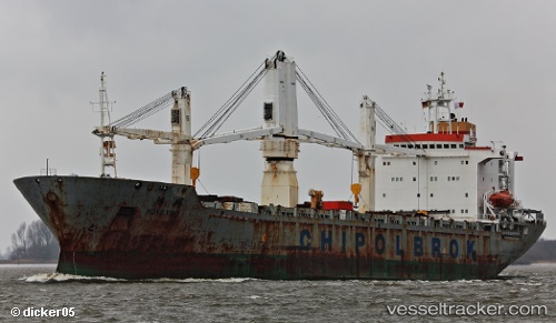
Vessel profile: CRONUS H is a General Cargo with dimensions m x m.
This page combines live AIS, route history, probable destination signals, nearby traffic, and port activity for practical vessel monitoring.
The current position of vessel CRONUS H is 9.40988 lat / -79.97128 lng. Updated: 2026-05-22 19:34:17 UTCNearest reference points:
- Near Colon
- Near Colón Free Zone
- Near COLON 2000
Currently sailing under the flag of Panama ![]()
Details:
Live Vessel CRONUS H Analytics (details, animations, etc.)
Recent AIS points (UTC):
2026-05-22 16:22:45 UTC · 9.40994, -79.97148 · SOG 0 kn · COG -1°2026-05-22 16:34:15 UTC · 9.41017, -79.97152 · SOG 0 kn · COG 286°
2026-05-22 18:16:49 UTC · 9.40968, -79.97137 · SOG 0 kn · COG -1°
2026-05-22 19:34:17 UTC · 9.40988, -79.97128 · SOG 0 kn · COG 280°