 ELLY
ELLY
Current Status
Where is the vessel?
ELLY is currently in 291 nm NW of Tinaquillo, based on AIS data received about 16h ago.
Latest AIS update:
Current position: 14.28979° N, 66.15266° E (291 nm NW of Tinaquillo)
Average speed (last 7 days): Loading…
Average speed (last 30 days): Loading…
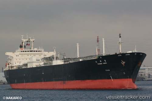
Vessel profile: ELLY is a Tanker with dimensions m x m.
This page combines live AIS, route history, probable destination signals, nearby traffic, and port activity for practical vessel monitoring.
The current position of vessel ELLY is 14.28979 lat / 66.15266 lng. Updated: 2026-05-21 10:33:20 UTCNearest reference points:
- Open sea, approx. 401 nm off the nearest listed port
- Open sea, approx. 403 nm off the nearest listed port
- Open sea, approx. 404 nm off the nearest listed port
Currently sailing under the flag of Madagascar ![]()
Details:
Live Vessel ELLY Analytics (details, animations, etc.)
Recent AIS points (UTC):
2026-05-21 10:33:20 UTC · 14.28979, 66.15266 · SOG 11.8 kn · COG 128°2026-05-21 10:33:20 UTC · 14.28979, 66.15266 · SOG 11.8 kn · COG 128°
2026-05-21 10:33:20 UTC · 14.28979, 66.15266 · SOG 11.8 kn · COG 128°
2026-05-21 10:33:20 UTC · 14.28979, 66.15266 · SOG 11.8 kn · COG 128°