 BLUESKY4
Current Status
Where is the vessel?
BLUESKY4 is currently in Near LARAK, based on AIS data received about 11d ago.
Latest AIS update:
Current position: 26.95887° N, 56.41678° E (Near LARAK)
Average speed (last 7 days): Loading…
Average speed (last 30 days): Loading…
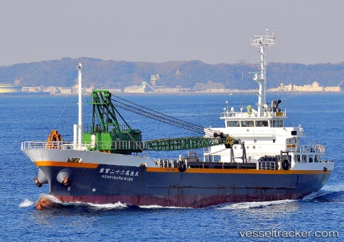
Vessel profile: BLUESKY4 is a Cargo with dimensions m x m.
This page combines live AIS, route history, probable destination signals, nearby traffic, and port activity for practical vessel monitoring.
The current position of vessel BLUESKY4 is 26.95887 lat / 56.41678 lng. Updated: 2026-05-11 20:19:01 UTCNearest reference points:
- Near LARAK
- Near QUESHM
- Near SHAHID BAHONAR
Currently sailing under the flag of Comoros ![]()
Details:
Live Vessel BLUESKY4 Analytics (details, animations, etc.)
Recent AIS points (UTC):
2026-05-11 04:31:50 UTC · 25.36906, 57.04455 · SOG 7 kn · COG -1°2026-05-11 20:19:01 UTC · 26.95887, 56.41678 · SOG 7.5 kn · COG -1°
2026-05-11 20:19:01 UTC · 26.95887, 56.41678 · SOG 7.5 kn · COG -1°
2026-05-11 20:19:01 UTC · 26.95887, 56.41678 · SOG 7.5 kn · COG -1°