 vesseltracker.com
 MOAYAD Y
Current Status
Where is the vessel?
MOAYAD Y is currently in 31 nm NW of Alexandria, based on AIS data received about 14h ago.
Latest AIS update:
Current position: 31.63005° N, 29.56182° E (31 nm NW of Alexandria)
Average speed (last 7 days): Loading…
Average speed (last 30 days): Loading…
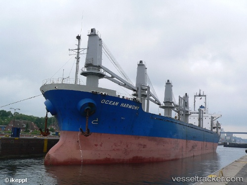
Vessel profile: MOAYAD Y is a Bulk Carrier with dimensions m x m.
This page combines live AIS, route history, probable destination signals, nearby traffic, and port activity for practical vessel monitoring.
The current position of vessel MOAYAD Y is 31.63005 lat / 29.56182 lng. Updated: 2026-05-18 07:06:24 UTCNearest reference points:
- Near EL DEKHEILA
- 13 nm W of EL DEKHEILA
- 28 nm N of Hamra
Currently sailing under the flag of Comoros ![]()
Details:
Live Vessel MOAYAD Y Analytics (details, animations, etc.)
Recent AIS points (UTC):
2026-05-18 03:54:21 UTC · 32.14325, 29.31788 · SOG 10.2 kn · COG 156°2026-05-18 04:10:51 UTC · 32.09936, 29.34009 · SOG 10.5 kn · COG 156°
2026-05-18 05:55:22 UTC · 31.81639, 29.47678 · SOG 10.2 kn · COG 160°
2026-05-18 07:06:24 UTC · 31.63005, 29.56182 · SOG 10 kn · COG 157°