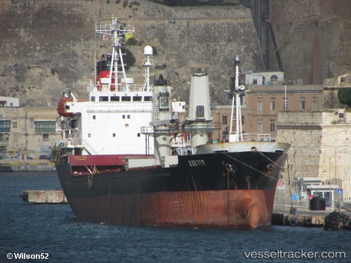
 DERYA AYTEKIN
Current Status
Where is the vessel?
DERYA AYTEKIN is currently in 12 nm E of Anamur, based on AIS data received about 14h ago.
Latest AIS update:
Current position: 36.00196° N, 33.08456° E (12 nm E of Anamur)
Average speed (last 7 days): Loading…
Average speed (last 30 days): Loading…
Vessel profile: DERYA AYTEKIN is a General Cargo with dimensions m x m.
This page combines live AIS, route history, probable destination signals, nearby traffic, and port activity for practical vessel monitoring.
The current position of vessel DERYA AYTEKIN is 36.00196 lat / 33.08456 lng. Updated: 2026-05-22 15:30:37 UTCNearest reference points:
- 20 nm SW of Yesilovacik
- 15 nm SW of Yesilovacik
- Near Larnaca
Currently sailing under the flag of Saint Kitts and Nevis ![]()
Details:
Live Vessel DERYA AYTEKIN Analytics (details, animations, etc.)
Recent AIS points (UTC):
2026-05-22 12:15:40 UTC · 35.89973, 32.38775 · SOG 10.3 kn · COG 89°2026-05-22 13:32:48 UTC · 35.93668, 32.66098 · SOG 10.4 kn · COG 88°
2026-05-22 13:50:18 UTC · 35.94238, 32.72217 · SOG 10.5 kn · COG 80°
2026-05-22 15:30:37 UTC · 36.00196, 33.08456 · SOG 10.7 kn · COG 80°