 Libra
Libra
Current Status
Where is the vessel?
Libra is currently in 38 nm SE of Perim Island, based on AIS data received about 14h ago.
Latest AIS update:
Current position: 12.35767° N, 44.00080° E (38 nm SE of Perim Island)
Average speed (last 7 days): Loading…
Average speed (last 30 days): Loading…
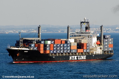
Vessel profile: Libra is a Container Ship with dimensions 193m x 28m.
This page combines live AIS, route history, probable destination signals, nearby traffic, and port activity for practical vessel monitoring.
The current position of vessel Libra is 12.35767 lat / 44.00080 lng. Updated: 2026-05-19 15:45:50 UTCNearest reference points:
- Near Djibouti
Currently sailing under the flag of St Vincent Grenadines ![]()
Libra built in 1997 year
Deadweight:
24383 tDetails:
Live Vessel Libra Analytics (details, animations, etc.)
Recent AIS points (UTC):
2026-05-19 11:29:21 UTC · 12.05914, 44.76512 · SOG 11.5 kn · COG 294°2026-05-19 13:48:10 UTC · 12.22994, 44.35066 · SOG 11.4 kn · COG 292°
2026-05-19 14:09:11 UTC · 12.25502, 44.28884 · SOG 11.2 kn · COG 289°
2026-05-19 15:45:50 UTC · 12.35767, 44.00080 · SOG 10.9 kn · COG 288°