 MED IZMIR
Current Status
Where is the vessel?
MED IZMIR is currently in 12 nm NW of FOCA, based on AIS data received about 14h ago.
Latest AIS update:
Current position: 38.85518° N, 26.64618° E (12 nm NW of FOCA)
Average speed (last 7 days): Loading…
Average speed (last 30 days): Loading…
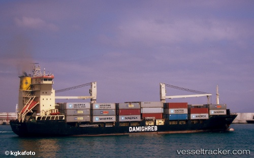
Vessel profile: MED IZMIR is a Container Ship with dimensions m x m.
This page combines live AIS, route history, probable destination signals, nearby traffic, and port activity for practical vessel monitoring.
The current position of vessel MED IZMIR is 38.85518 lat / 26.64618 lng. Updated: 2026-05-21 22:18:14 UTCNearest reference points:
- Near Nemrut Bay
- Near Aliaga
- Near NEMRUT
Currently sailing under the flag of Turkey ![]()
Details:
Live Vessel MED IZMIR Analytics (details, animations, etc.)
Recent AIS points (UTC):
2026-05-21 17:46:44 UTC · 39.02614, 25.85717 · SOG 9.3 kn · COG -1°2026-05-21 19:15:55 UTC · 38.90663, 26.10727 · SOG 9.1 kn · COG -1°
2026-05-21 19:35:33 UTC · 38.88378, 26.16340 · SOG 8.9 kn · COG 98°
2026-05-21 22:18:14 UTC · 38.85518, 26.64618 · SOG 0.3 kn · COG 270°