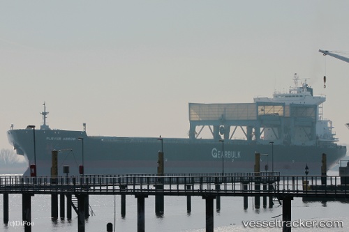
 Plover Arrow
Current Status
Where is the vessel?
Plover Arrow is currently in 117 nm W of Attu Island, based on AIS data received about 15h ago.
Latest AIS update:
Current position: 53.58632° N, 170.21008° E (117 nm W of Attu Island)
Average speed (last 7 days): Loading…
Average speed (last 30 days): Loading…
Vessel profile: Plover Arrow is a Multi Purpose Carrier with dimensions 200m x 32m.
This page combines live AIS, route history, probable destination signals, nearby traffic, and port activity for practical vessel monitoring.
The current position of vessel Plover Arrow is 53.58632 lat / 170.21008 lng. Updated: 2026-05-22 10:26:00 UTCCurrently sailing under the flag of Bahamas ![]()
Plover Arrow built in 1997 year
Deadweight:
51421 tDetails:
Live Vessel Plover Arrow Analytics (details, animations, etc.)
Recent AIS points (UTC):
2026-05-22 07:50:24 UTC · 53.73333, 170.91167 · SOG 10 kn · COG -1°2026-05-22 07:59:21 UTC · 53.72500, 170.87167 · SOG 10 kn · COG -1°
2026-05-22 09:33:31 UTC · 53.64034, 170.44843 · SOG 10.3 kn · COG 249°
2026-05-22 10:26:00 UTC · 53.58632, 170.21008 · SOG 10.3 kn · COG 249°