 EMILIE
Current Status
Where is the vessel?
EMILIE is currently in Near Nica, based on AIS data received about 14h ago.
Latest AIS update:
Current position: 56.29125° N, 20.79449° E (Near Nica)
Average speed (last 7 days): Loading…
Average speed (last 30 days): Loading…
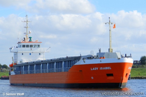
Vessel profile: EMILIE is a General Cargo with dimensions m x m.
This page combines live AIS, route history, probable destination signals, nearby traffic, and port activity for practical vessel monitoring.
The current position of vessel EMILIE is 56.29125 lat / 20.79449 lng. Updated: 2026-05-23 07:45:31 UTCNearest reference points:
- Near Cimdenieki
- Near Klaipeda
- 39 nm W of Pilies juru uosto PVP/Klaipeda
Currently sailing under the flag of Finland ![]()
Details:
Live Vessel EMILIE Analytics (details, animations, etc.)
Recent AIS points (UTC):
2026-05-23 04:03:02 UTC · 55.68630, 21.13378 · SOG 8.8 kn · COG 337°2026-05-23 06:18:23 UTC · 56.02155, 20.81282 · SOG 11.1 kn · COG 350°
2026-05-23 07:29:43 UTC · 56.24187, 20.79423 · SOG 11.2 kn · COG 359°
2026-05-23 07:45:31 UTC · 56.29125, 20.79449 · SOG 11.1 kn · COG 359°