 RLO EXPLORER
Current Status
Where is the vessel?
RLO EXPLORER is currently in 22 nm S of Capulo, based on AIS data received about 16h ago.
Latest AIS update:
Current position: 8.35003° S, 13.10998° E (22 nm S of Capulo)
Average speed (last 7 days): Loading…
Average speed (last 30 days): Loading…
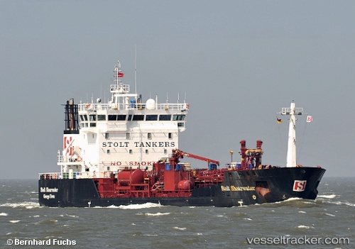
Vessel profile: RLO EXPLORER is a Oil/Chemical Tanker with dimensions m x m.
This page combines live AIS, route history, probable destination signals, nearby traffic, and port activity for practical vessel monitoring.
The current position of vessel RLO EXPLORER is -8.35003 lat / 13.10998 lng. Updated: 2026-05-21 22:09:18 UTCNearest reference points:
- Near Luanda
- Near Greater Plutonio
- Near SOYO
Currently sailing under the flag of Netherlands ![]()
Details:
Live Vessel RLO EXPLORER Analytics (details, animations, etc.)
Recent AIS points (UTC):
2026-05-21 19:53:59 UTC · -8.63889, 13.28645 · SOG 8.8 kn · COG -1°2026-05-21 20:12:39 UTC · -8.60035, 13.26103 · SOG 9 kn · COG -1°
2026-05-21 21:55:03 UTC · -8.38117, 13.12887 · SOG 9 kn · COG -1°
2026-05-21 22:09:18 UTC · -8.35003, 13.10998 · SOG 9.2 kn · COG -1°