 vesseltracker.com
 East Bay
Current Status
Where is the vessel?
East Bay is currently in 23 nm NW of Dunkerque, based on AIS data received about 8d ago.
Latest AIS update:
Current position: 51.40736° N, 2.11928° E (23 nm NW of Dunkerque)
Average speed (last 7 days): Loading…
Average speed (last 30 days): Loading…
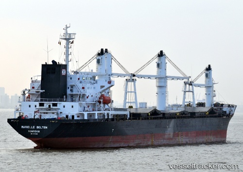
Vessel profile: East Bay is a General Cargo Ship with dimensions 181m x 26m.
This page combines live AIS, route history, probable destination signals, nearby traffic, and port activity for practical vessel monitoring.
The current position of vessel East Bay is 51.40736 lat / 2.11928 lng. Updated: 2026-05-09 18:57:28 UTCNearest reference points:
- 15 nm E of RAMSGATE
- 14 nm SE of RAMSGATE
- Near Dunkerque
Currently sailing under the flag of Liberia ![]()
East Bay built in 1997 year
Deadweight:
29517 tDetails:
Live Vessel East Bay Analytics (details, animations, etc.)
Recent AIS points (UTC):
2026-05-09 18:57:28 UTC · 51.40736, 2.11928 · SOG 13.9 kn · COG 330°2026-05-09 18:57:28 UTC · 51.40736, 2.11928 · SOG 13.9 kn · COG 330°
2026-05-09 18:57:28 UTC · 51.40736, 2.11928 · SOG 13.9 kn · COG 330°
2026-05-09 18:57:28 UTC · 51.40736, 2.11928 · SOG 13.9 kn · COG 330°
2026-05-09 18:57:28 UTC · 51.40736, 2.11928 · SOG 13.9 kn · COG 330°