 PROCYON
Current Status
Where is the vessel?
PROCYON is currently in 53 nm SW of Buchanan, based on AIS data received about 14h ago.
Latest AIS update:
Current position: 5.24356° N, 10.69131° W (53 nm SW of Buchanan)
Average speed (last 7 days): Loading…
Average speed (last 30 days): Loading…
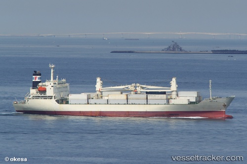
Vessel profile: PROCYON is a Reefer with dimensions m x m.
This page combines live AIS, route history, probable destination signals, nearby traffic, and port activity for practical vessel monitoring.
The current position of vessel PROCYON is 5.24356 lat / -10.69131 lng. Updated: 2026-05-23 05:32:37 UTCNearest reference points:
- 15 nm SW of Buchanan
- 110 nm SW of River Cess
- 98 nm SW of Harper
Details:
Live Vessel PROCYON Analytics (details, animations, etc.)
Recent AIS points (UTC):
2026-05-23 01:34:19 UTC · 5.66833, -11.38833 · SOG 12 kn · COG -1°2026-05-23 03:46:58 UTC · 5.42733, -11.00338 · SOG 12.2 kn · COG 127°
2026-05-23 04:38:47 UTC · 5.33359, -10.85117 · SOG 12.3 kn · COG 122°
2026-05-23 05:32:37 UTC · 5.24356, -10.69131 · SOG 12.1 kn · COG 122°