 JING RUN
Current Status
Where is the vessel?
JING RUN is currently in 13 nm W of Awaji, based on AIS data received about 14h ago.
Latest AIS update:
Current position: 34.50643° N, 134.66476° E (13 nm W of Awaji)
Average speed (last 7 days): Loading…
Average speed (last 30 days): Loading…
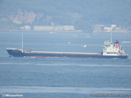
Vessel profile: JING RUN is a Cargo with dimensions m x m.
This page combines live AIS, route history, probable destination signals, nearby traffic, and port activity for practical vessel monitoring.
The current position of vessel JING RUN is 34.50643 lat / 134.66476 lng. Updated: 2026-05-19 09:33:09 UTCNearest reference points:
- Near Awaji
- Near KAKOGAWA
- Near HIGASHIHARIMA
Currently sailing under the flag of Sao Tome and Principe ![]()
Details:
Live Vessel JING RUN Analytics (details, animations, etc.)
Recent AIS points (UTC):
2026-05-19 06:13:19 UTC · 34.43383, 134.11253 · SOG 9.6 kn · COG 102°2026-05-19 07:05:49 UTC · 34.39753, 134.27167 · SOG 9.3 kn · COG 85°
2026-05-19 08:15:09 UTC · 34.43737, 134.45876 · SOG 8.3 kn · COG 70°
2026-05-19 09:33:09 UTC · 34.50643, 134.66476 · SOG 8.3 kn · COG 67°