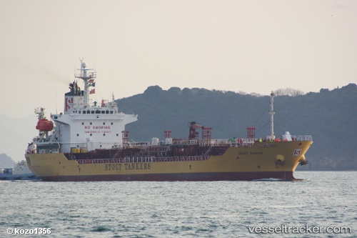
 CHEM STAR
Current Status
Where is the vessel?
CHEM STAR is currently in 37 nm N of Krueng Geukueh, based on AIS data received about 14h ago.
Latest AIS update:
Current position: 5.86157° N, 97.01319° E (37 nm N of Krueng Geukueh)
Average speed (last 7 days): Loading…
Average speed (last 30 days): Loading…
Vessel profile: CHEM STAR is a Oil/Chemical Tanker with dimensions m x m.
This page combines live AIS, route history, probable destination signals, nearby traffic, and port activity for practical vessel monitoring.
The current position of vessel CHEM STAR is 5.86157 lat / 97.01319 lng. Updated: 2026-05-20 02:32:56 UTCNearest reference points:
- 45 nm NE of Krueng Geukueh
- 34 nm N of Langsa Venture FPSO
- 45 nm N of Langsa Venture FPSO
Currently sailing under the flag of Saint Kitts and Nevis ![]()
Details:
Live Vessel CHEM STAR Analytics (details, animations, etc.)
Recent AIS points (UTC):
2026-05-19 22:11:49 UTC · 5.81517, 96.54525 · SOG 0.9 kn · COG 18°2026-05-20 00:05:26 UTC · 5.82055, 96.56652 · SOG 10.3 kn · COG 75°
2026-05-20 01:47:45 UTC · 5.86473, 96.87037 · SOG 11.3 kn · COG 80°
2026-05-20 02:32:56 UTC · 5.86157, 97.01319 · SOG 11.3 kn · COG 90°