 SAVA
SAVA
Current Status
Where is the vessel?
SAVA is currently in 56 nm NE of Ryuo, based on AIS data received about 14h ago.
Latest AIS update:
Current position: 36.52770° N, 17.08417° E (56 nm NE of Ryuo)
Average speed (last 7 days): Loading…
Average speed (last 30 days): Loading…
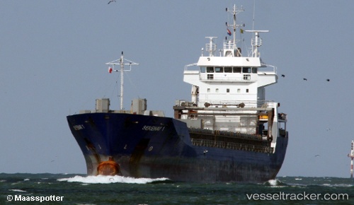
Vessel profile: SAVA is a General Cargo Ship with dimensions 122m x 14m.
This page combines live AIS, route history, probable destination signals, nearby traffic, and port activity for practical vessel monitoring.
The current position of vessel SAVA is 36.52770 lat / 17.08417 lng. Updated: 2026-05-22 02:00:32 UTCNearest reference points:
- 53 nm NE of Ryuo
- 64 nm NE of Ryuo
- 33 nm N of Ryuo
Currently sailing under the flag of Barbados ![]()
SAVA built in 1999 year
Deadweight:
8300 tDetails:
Live Vessel SAVA Analytics (details, animations, etc.)
Recent AIS points (UTC):
2026-05-21 21:50:10 UTC · 36.51353, 17.92616 · SOG 9.6 kn · COG -1°2026-05-21 22:05:11 UTC · 36.51430, 17.87510 · SOG 9.8 kn · COG -1°
2026-05-22 01:24:18 UTC · 36.52465, 17.20465 · SOG 9.6 kn · COG 275°
2026-05-22 02:00:32 UTC · 36.52770, 17.08417 · SOG 9.6 kn · COG -1°