 ALANYA M
Current Status
Where is the vessel?
ALANYA M is currently in 13 nm SW of Siparia, based on AIS data received about 16h ago.
Latest AIS update:
Current position: 9.95647° N, 61.62871° W (13 nm SW of Siparia)
Average speed (last 7 days): Loading…
Average speed (last 30 days): Loading…
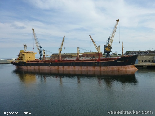
Vessel profile: ALANYA M is a Bulk Carrier with dimensions m x m.
This page combines live AIS, route history, probable destination signals, nearby traffic, and port activity for practical vessel monitoring.
The current position of vessel ALANYA M is 9.95647 lat / -61.62871 lng. Updated: 2026-05-20 07:26:44 UTCNearest reference points:
- Near POINT LISAS
- Near Carenage
- Near Caroni
Currently sailing under the flag of San Marino ![]()
Details:
Live Vessel ALANYA M Analytics (details, animations, etc.)
Recent AIS points (UTC):
2026-05-20 05:05:43 UTC · 9.95645, -61.62871 · SOG 0 kn · COG 100°2026-05-20 06:07:53 UTC · 9.95500, -61.62833 · SOG 0 kn · COG -1°
2026-05-20 07:14:44 UTC · 9.95652, -61.62868 · SOG 0 kn · COG 100°
2026-05-20 07:26:44 UTC · 9.95647, -61.62871 · SOG 0 kn · COG 99°