Highway
Current StatusWhere is the vessel?
Highway is currently in 37 nm SE of Widuri Marine Terminal, based on AIS data received about 15h ago.
Latest AIS update:
Current position: 5.15097° S, 107.03156° E (37 nm SE of Widuri Marine Terminal)
Average speed (last 7 days): Loading…
Average speed (last 30 days): Loading…
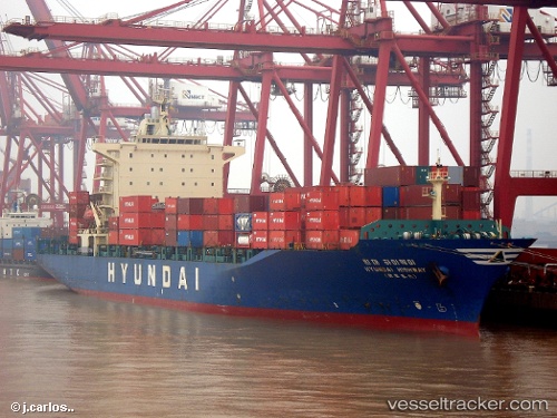
Vessel profile: Highway is a Container Ship with dimensions 30m x 182m.
This page combines live AIS, route history, probable destination signals, nearby traffic, and port activity for practical vessel monitoring.
The current position of vessel Highway is -5.15097 lat / 107.03156 lng. Updated: 2026-05-20 05:18:46 UTCNearest reference points:
- 19 nm N of Cilincing
- Near New Priok Port
- 38 nm E of Kotatengah
Details:
Live Vessel Highway Analytics (details, animations, etc.)
Recent AIS points (UTC):
2026-05-20 05:18:46 UTC · -5.15097, 107.03156 · SOG 15.2 kn · COG -1°2026-05-20 05:18:46 UTC · -5.15097, 107.03156 · SOG 15.2 kn · COG -1°
2026-05-20 05:18:46 UTC · -5.15097, 107.03156 · SOG 15.2 kn · COG -1°
2026-05-20 05:18:46 UTC · -5.15097, 107.03156 · SOG 15.2 kn · COG -1°