 KAWA KOPER
Current Status
Where is the vessel?
KAWA KOPER is currently in 90 nm S of Xijiang, based on AIS data received about 15h ago.
Latest AIS update:
Current position: 19.88833° N, 115.45167° E (90 nm S of Xijiang)
Average speed (last 7 days): Loading…
Average speed (last 30 days): Loading…
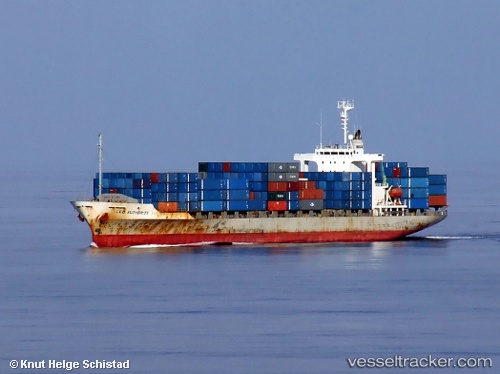
Vessel profile: KAWA KOPER is a Container Ship with dimensions m x m.
This page combines live AIS, route history, probable destination signals, nearby traffic, and port activity for practical vessel monitoring.
The current position of vessel KAWA KOPER is 19.88833 lat / 115.45167 lng. Updated: 2026-05-22 19:18:35 UTCNearest reference points:
- 78 nm SW of Xijiang
- 148 nm SE of Xijiang
- 123 nm S of Shadi
Currently sailing under the flag of Panama ![]()
Details:
Live Vessel KAWA KOPER Analytics (details, animations, etc.)
Recent AIS points (UTC):
2026-05-22 16:04:43 UTC · 19.38667, 115.21500 · SOG 9 kn · COG -1°2026-05-22 18:09:59 UTC · 19.70500, 115.36833 · SOG 10 kn · COG -1°
2026-05-22 19:18:35 UTC · 19.88833, 115.45167 · SOG 10 kn · COG -1°
2026-05-22 19:18:35 UTC · 19.88833, 115.45167 · SOG 10 kn · COG -1°