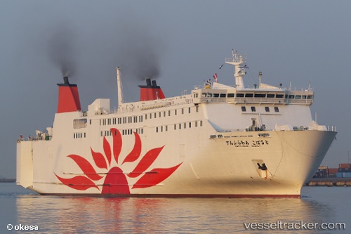
 KM. DHARMA KARTIKA V
Current Status
Where is the vessel?
KM. DHARMA KARTIKA V is currently in Near LEMBAR, based on AIS data received about 14h ago.
Latest AIS update:
Current position: 8.74092° S, 116.06064° E (Near LEMBAR)
Average speed (last 7 days): Loading…
Average speed (last 30 days): Loading…
Vessel profile: KM. DHARMA KARTIKA V is a Not available with dimensions m x m.
This page combines live AIS, route history, probable destination signals, nearby traffic, and port activity for practical vessel monitoring.
The current position of vessel KM. DHARMA KARTIKA V is -8.74092 lat / 116.06064 lng. Updated: 2026-05-20 03:45:21 UTCNearest reference points:
- Near LEMBAR
- Near BENOA
- 29 nm N of MANGGIS
Currently sailing under the flag of Indonesia ![]()
Details:
Live Vessel KM. DHARMA KARTIKA V Analytics (details, animations, etc.)
Recent AIS points (UTC):
2026-05-20 00:08:27 UTC · -8.05007, 115.60335 · SOG 17.2 kn · COG 145°2026-05-20 02:08:39 UTC · -8.55196, 115.91613 · SOG 17.8 kn · COG 143°
2026-05-20 02:16:19 UTC · -8.58458, 115.93773 · SOG 18.2 kn · COG -1°
2026-05-20 03:45:21 UTC · -8.74092, 116.06064 · SOG 0 kn · COG -1°