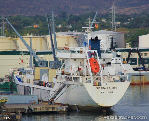
 SIERRA LAUREL
Current Status
Where is the vessel?
SIERRA LAUREL is currently in Near Torshavn, based on AIS data received about 14h ago.
Latest AIS update:
Current position: 61.99777° N, 6.71239° W (Near Torshavn)
Average speed (last 7 days): Loading…
Average speed (last 30 days): Loading…
Vessel profile: SIERRA LAUREL is a Reefer with dimensions m x m.
This page combines live AIS, route history, probable destination signals, nearby traffic, and port activity for practical vessel monitoring.
The current position of vessel SIERRA LAUREL is 61.99777 lat / -6.71239 lng. Updated: 2026-05-20 04:37:07 UTCNearest reference points:
- Near FUGLAFJORDUR
- Near VESTMANNA
- 20 nm S of Vágur
Currently sailing under the flag of Bahamas ![]()
Details:
Live Vessel SIERRA LAUREL Analytics (details, animations, etc.)
Recent AIS points (UTC):
2026-05-20 01:09:55 UTC · 62.00903, -6.70521 · SOG 0.3 kn · COG 336°2026-05-20 01:54:04 UTC · 62.00829, -6.70728 · SOG 0.3 kn · COG 31°
2026-05-20 04:16:01 UTC · 62.00907, -6.70784 · SOG 0.6 kn · COG 75°
2026-05-20 04:37:07 UTC · 61.99777, -6.71239 · SOG 9.9 kn · COG 179°