 GOLDEN ID
Current Status
Where is the vessel?
GOLDEN ID is currently in 14 nm W of Abu Zenimah, based on AIS data received about 14h ago.
Latest AIS update:
Current position: 29.06320° N, 32.83078° E (14 nm W of Abu Zenimah)
Average speed (last 7 days): Loading…
Average speed (last 30 days): Loading…
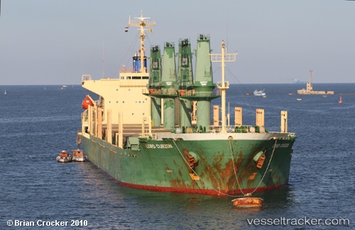
Vessel profile: GOLDEN ID is a General Cargo with dimensions m x m.
This page combines live AIS, route history, probable destination signals, nearby traffic, and port activity for practical vessel monitoring.
The current position of vessel GOLDEN ID is 29.06320 lat / 32.83078 lng. Updated: 2026-05-19 01:36:02 UTCNearest reference points:
- Near Ras Sudr
- Near Al Adabiyah
- Near Ras Gharib
Currently sailing under the flag of Saint Kitts and Nevis ![]()
Details:
Live Vessel GOLDEN ID Analytics (details, animations, etc.)
Recent AIS points (UTC):
2026-05-18 22:51:08 UTC · 28.68476, 33.01605 · SOG 9.2 kn · COG -1°2026-05-18 23:34:00 UTC · 28.78512, 32.96973 · SOG 8.8 kn · COG -1°
2026-05-19 01:29:03 UTC · 29.04653, 32.83829 · SOG 9.1 kn · COG -1°
2026-05-19 01:36:02 UTC · 29.06320, 32.83078 · SOG 9.3 kn · COG -1°