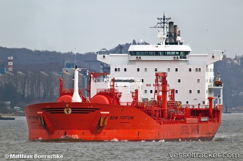
 BOW FORTUNE
Current Status
Where is the vessel?
BOW FORTUNE is currently in 139 nm N of Dorp Rincón, based on AIS data received about 14h ago.
Latest AIS update:
Current position: 14.52667° N, 68.07000° W (139 nm N of Dorp Rincón)
Average speed (last 7 days): Loading…
Average speed (last 30 days): Loading…
Vessel profile: BOW FORTUNE is a Oil/Chemical Tanker with dimensions m x m.
This page combines live AIS, route history, probable destination signals, nearby traffic, and port activity for practical vessel monitoring.
The current position of vessel BOW FORTUNE is 14.52667 lat / -68.07000 lng. Updated: 2026-05-19 22:18:54 UTCNearest reference points:
- 148 nm N of Dorp Rincón
- 82 nm S of Santa Isabel
- Near Bullenbaai
Currently sailing under the flag of Marshall Islands ![]()
Details:
Live Vessel BOW FORTUNE Analytics (details, animations, etc.)
Recent AIS points (UTC):
2026-05-19 19:12:24 UTC · 14.24333, -67.42667 · SOG 14 kn · COG -1°2026-05-19 19:57:29 UTC · 14.31333, -67.58333 · SOG 13 kn · COG -1°
2026-05-19 21:39:40 UTC · 14.46014, -67.93888 · SOG 13.3 kn · COG 297°
2026-05-19 22:18:54 UTC · 14.52667, -68.07000 · SOG 13 kn · COG -1°