 BOZKURT
Current Status
Where is the vessel?
BOZKURT is currently in 15 nm S of LAVRIO MARINA, based on AIS data received about 15h ago.
Latest AIS update:
Current position: 37.44309° N, 24.03114° E (15 nm S of LAVRIO MARINA)
Average speed (last 7 days): Loading…
Average speed (last 30 days): Loading…
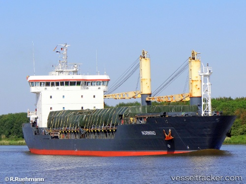
Vessel profile: BOZKURT is a General Cargo with dimensions m x m.
This page combines live AIS, route history, probable destination signals, nearby traffic, and port activity for practical vessel monitoring.
The current position of vessel BOZKURT is 37.44309 lat / 24.03114 lng. Updated: 2026-05-21 05:21:50 UTCNearest reference points:
- Near Kéa (Tzia)
- Near LAVRIO MARINA
- Near LAVRIO
Currently sailing under the flag of Liberia ![]()
Details:
Live Vessel BOZKURT Analytics (details, animations, etc.)
Recent AIS points (UTC):
2026-05-21 02:03:41 UTC · 37.06699, 23.74333 · SOG 8.2 kn · COG -1°2026-05-21 03:53:40 UTC · 37.28085, 23.90324 · SOG 7.8 kn · COG -1°
2026-05-21 04:36:40 UTC · 37.36146, 23.96388 · SOG 7.8 kn · COG -1°
2026-05-21 05:21:50 UTC · 37.44309, 24.03114 · SOG 7.8 kn · COG -1°