 TEOS
TEOS
Current Status
Where is the vessel?
TEOS is currently in 13 nm SE of Los Ramos, based on AIS data received about 15h ago.
Latest AIS update:
Current position: 37.80863° N, 10.18668° W (13 nm SE of Los Ramos)
Average speed (last 7 days): Loading…
Average speed (last 30 days): Loading…
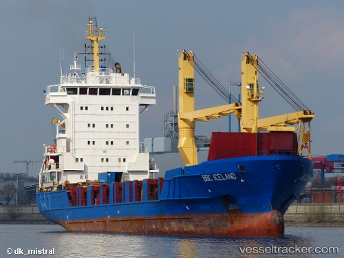
Vessel profile: TEOS is a General Cargo with dimensions m x m.
This page combines live AIS, route history, probable destination signals, nearby traffic, and port activity for practical vessel monitoring.
The current position of vessel TEOS is 37.80863 lat / -10.18668 lng. Updated: 2026-05-22 16:31:13 UTCNearest reference points:
- 54 nm W of Sagres
- 18 nm W of Colares
- Near CASCAIS
Currently sailing under the flag of San Marino ![]()
Details:
Live Vessel TEOS Analytics (details, animations, etc.)
Recent AIS points (UTC):
2026-05-22 13:52:41 UTC · 38.31333, -10.33500 · SOG 11 kn · COG -1°2026-05-22 14:21:32 UTC · 38.22303, -10.30691 · SOG 11.9 kn · COG 165°
2026-05-22 16:15:11 UTC · 37.85678, -10.20751 · SOG 12.3 kn · COG 159°
2026-05-22 16:31:13 UTC · 37.80863, -10.18668 · SOG 11.7 kn · COG 160°