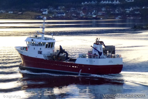
Viking Saga
Current StatusWhere is the vessel?
Viking Saga is currently in 18 nm NW of Brandsfjord, based on AIS data received about 15h ago.
Latest AIS update:
Current position: 64.30974° N, 9.71134° E (18 nm NW of Brandsfjord)
Average speed (last 7 days): Loading…
Average speed (last 30 days): Loading…
Vessel profile: Viking Saga is a Fish Carrier with dimensions 9m x 42m.
This page combines live AIS, route history, probable destination signals, nearby traffic, and port activity for practical vessel monitoring.
The current position of vessel Viking Saga is 64.30974 lat / 9.71134 lng. Updated: 2026-05-18 17:31:56 UTCNearest reference points:
- Near Uthaug
- Near Vingsand
- Near Dyrvik
Details:
Live Vessel Viking Saga Analytics (details, animations, etc.)
Recent AIS points (UTC):
2026-05-18 14:15:58 UTC · 63.90209, 9.54811 · SOG 8.8 kn · COG 289°2026-05-18 15:53:07 UTC · 64.09577, 9.48818 · SOG 8.9 kn · COG 27°
2026-05-18 16:34:35 UTC · 64.18653, 9.58528 · SOG 8.7 kn · COG 27°
2026-05-18 17:31:56 UTC · 64.30974, 9.71134 · SOG 8.2 kn · COG 26°