 KIN A
KIN A
Current Status
Where is the vessel?
KIN A is currently in 47 nm NE of Doraleh Container Terminal, based on AIS data received about 14h ago.
Latest AIS update:
Current position: 11.94168° N, 45.31929° E (47 nm NE of Doraleh Container Terminal)
Average speed (last 7 days): Loading…
Average speed (last 30 days): Loading…
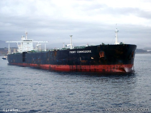
Vessel profile: KIN A is a Crude Oil Tanker with dimensions m x m.
This page combines live AIS, route history, probable destination signals, nearby traffic, and port activity for practical vessel monitoring.
The current position of vessel KIN A is 11.94168 lat / 45.31929 lng. Updated: 2026-05-19 12:06:06 UTCNearest reference points:
- Near Djibouti
Currently sailing under the flag of Comoros ![]()
Details:
Live Vessel KIN A Analytics (details, animations, etc.)
Recent AIS points (UTC):
2026-05-19 07:48:10 UTC · 12.04333, 44.54833 · SOG 11 kn · COG -1°2026-05-19 09:18:11 UTC · 11.92333, 44.81333 · SOG 11 kn · COG -1°
2026-05-19 10:25:25 UTC · 11.85812, 45.01219 · SOG 10.9 kn · COG 79°
2026-05-19 12:06:06 UTC · 11.94168, 45.31929 · SOG 11.3 kn · COG 67°