 JOLLY BLUE
Current Status
Where is the vessel?
JOLLY BLUE is currently in 48 nm W of MARETTIMO, based on AIS data received about 14h ago.
Latest AIS update:
Current position: 37.69669° N, 11.13408° E (48 nm W of MARETTIMO)
Average speed (last 7 days): Loading…
Average speed (last 30 days): Loading…
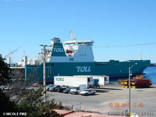
Vessel profile: JOLLY BLUE is a Ro-Ro Cargo Ship with dimensions 24m x 184m.
This page combines live AIS, route history, probable destination signals, nearby traffic, and port activity for practical vessel monitoring.
The current position of vessel JOLLY BLUE is 37.69669 lat / 11.13408 lng. Updated: 2026-05-21 05:54:19 UTCNearest reference points:
- 32 nm N of Qulaybiyah
- 13 nm N of Qulaybiyah
- Near Le Kram
Currently sailing under the flag of Portugal (MAR) ![]()
JOLLY BLUE built in 1999 year
Deadweight:
11203 tDetails:
Live Vessel JOLLY BLUE Analytics (details, animations, etc.)
Recent AIS points (UTC):
2026-05-21 01:44:58 UTC · 37.01473, 10.51571 · SOG 12.6 kn · COG 32°2026-05-21 04:04:18 UTC · 37.40463, 10.85172 · SOG 12.1 kn · COG 31°
2026-05-21 04:33:08 UTC · 37.48053, 10.92738 · SOG 12.1 kn · COG 34°
2026-05-21 05:54:19 UTC · 37.69669, 11.13408 · SOG 11.9 kn · COG 38°