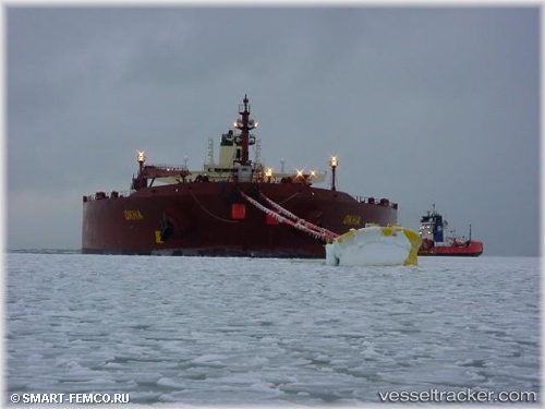
 Okha
Okha
Current Status
Where is the vessel?
Okha is currently in 18 nm NE of Modec Venture 11, based on AIS data received about 15h ago.
Latest AIS update:
Current position: 19.52243° S, 116.77726° E (18 nm NE of Modec Venture 11)
Average speed (last 7 days): Loading…
Average speed (last 30 days): Loading…
Vessel profile: Okha is a Fpso Tanker with dimensions 274m x 48m.
This page combines live AIS, route history, probable destination signals, nearby traffic, and port activity for practical vessel monitoring.
The current position of vessel Okha is -19.52243 lat / 116.77726 lng. Updated: 2026-05-20 19:11:12 UTCNearest reference points:
- 11 nm E of Port Walcot
- 116 nm NE of Mutineer
- 121 nm NE of Mutineer
Currently sailing under the flag of Australia ![]()
Okha built in 1999 year
Deadweight:
157823 tDetails:
Live Vessel Okha Analytics (details, animations, etc.)
Recent AIS points (UTC):
2026-05-20 15:53:54 UTC · -19.52333, 116.77833 · SOG 0 kn · COG -1°2026-05-20 16:32:59 UTC · -19.52333, 116.77833 · SOG 0 kn · COG -1°
2026-05-20 17:39:11 UTC · -19.52333, 116.77833 · SOG 0 kn · COG -1°
2026-05-20 19:11:12 UTC · -19.52243, 116.77726 · SOG 0 kn · COG 78°