 vesseltracker.com
 LORD H
Current Status
Where is the vessel?
LORD H is currently in 46 nm N of Dabo, based on AIS data received about 14h ago.
Latest AIS update:
Current position: 13.84836° N, 42.45854° E (46 nm N of Dabo)
Average speed (last 7 days): Loading…
Average speed (last 30 days): Loading…
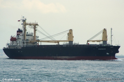
Vessel profile: LORD H is a Cargo with dimensions m x m.
This page combines live AIS, route history, probable destination signals, nearby traffic, and port activity for practical vessel monitoring.
The current position of vessel LORD H is 13.84836 lat / 42.45854 lng. Updated: 2026-05-18 09:52:20 UTCNearest reference points:
- 81 nm NW of As Salif
- Near Djibouti
Currently sailing under the flag of Palau ![]()
Details:
Live Vessel LORD H Analytics (details, animations, etc.)
Recent AIS points (UTC):
2026-05-18 05:26:24 UTC · 14.77237, 42.56670 · SOG 12.2 kn · COG 227°2026-05-18 07:03:14 UTC · 14.44980, 42.50543 · SOG 12.4 kn · COG 190°
2026-05-18 07:03:14 UTC · 14.44980, 42.50543 · SOG 12.4 kn · COG 190°
2026-05-18 09:52:20 UTC · 13.84836, 42.45854 · SOG 12.7 kn · COG 174°