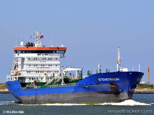
 STENSTRAUM
Current Status
Where is the vessel?
STENSTRAUM is currently in 133 nm NE of Dung Quat Petroleum Port, based on AIS data received about 15h ago.
Latest AIS update:
Current position: 16.35078° N, 110.91723° E (133 nm NE of Dung Quat Petroleum Port)
Average speed (last 7 days): Loading…
Average speed (last 30 days): Loading…
Vessel profile: STENSTRAUM is a Oil/Chemical Tanker with dimensions m x m.
This page combines live AIS, route history, probable destination signals, nearby traffic, and port activity for practical vessel monitoring.
The current position of vessel STENSTRAUM is 16.35078 lat / 110.91723 lng. Updated: 2026-05-21 00:00:56 UTCNearest reference points:
- 157 nm SE of Xincun
- 37 nm SE of Houan
- 26 nm SE of Wanning
Currently sailing under the flag of Liberia ![]()
Details:
Live Vessel STENSTRAUM Analytics (details, animations, etc.)
Recent AIS points (UTC):
2026-05-20 19:02:42 UTC · 15.39167, 110.65333 · SOG 12 kn · COG -1°2026-05-20 22:00:14 UTC · 15.97667, 110.82000 · SOG 12 kn · COG -1°
2026-05-20 22:18:16 UTC · 16.03333, 110.83500 · SOG 12 kn · COG -1°
2026-05-21 00:00:56 UTC · 16.35078, 110.91723 · SOG 11.5 kn · COG 13°