 MARY
MARY
Current Status
Where is the vessel?
MARY is currently in Near LAVRIO, based on AIS data received about 14h ago.
Latest AIS update:
Current position: 37.70802° N, 24.06066° E (Near LAVRIO)
Average speed (last 7 days): Loading…
Average speed (last 30 days): Loading…
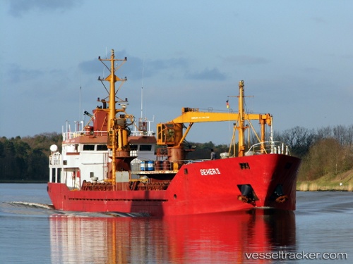
Vessel profile: MARY is a General Cargo with dimensions m x m.
This page combines live AIS, route history, probable destination signals, nearby traffic, and port activity for practical vessel monitoring.
The current position of vessel MARY is 37.70802 lat / 24.06066 lng. Updated: 2026-05-22 01:11:30 UTCNearest reference points:
- Near LAVRIO
- Near LAVRIO MARINA
- Near Kéa (Tzia)
Currently sailing under the flag of Palau ![]()
Details:
Live Vessel MARY Analytics (details, animations, etc.)
Recent AIS points (UTC):
2026-05-21 19:35:28 UTC · 37.70803, 24.06067 · SOG 0 kn · COG 301°2026-05-21 22:17:28 UTC · 37.70800, 24.06069 · SOG 0 kn · COG 301°
2026-05-21 22:56:27 UTC · 37.70804, 24.06067 · SOG 0 kn · COG 301°
2026-05-22 01:11:30 UTC · 37.70802, 24.06066 · SOG 0 kn · COG 301°