 vesseltracker.com
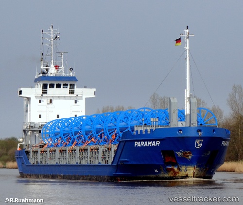
 FJORD
FJORD
Current Status
Where is the vessel?
FJORD is currently in Near Tom Roes Point Terminal/Drogheda, based on AIS data received about 15h ago.
Latest AIS update:
Current position: 53.72167° N, 6.30500° W (Near Tom Roes Point Terminal/Drogheda)
Average speed (last 7 days): Loading…
Average speed (last 30 days): Loading…
Vessel profile: FJORD is a General Cargo with dimensions m x m.
This page combines live AIS, route history, probable destination signals, nearby traffic, and port activity for practical vessel monitoring.
The current position of vessel FJORD is 53.72167 lat / -6.30500 lng. Updated: 2026-05-18 04:57:07 UTCNearest reference points:
- Near GREENORE
- Near Skerries
- Near Greencastle
Currently sailing under the flag of Antigua and Barbuda ![]()
Details:
Live Vessel FJORD Analytics (details, animations, etc.)
Recent AIS points (UTC):
2026-05-18 01:19:42 UTC · 53.72082, -6.30550 · SOG 0 kn · COG 268°2026-05-18 04:06:00 UTC · 53.72167, -6.30500 · SOG 0 kn · COG -1°
2026-05-18 04:54:07 UTC · 53.72167, -6.30500 · SOG 0 kn · COG -1°
2026-05-18 04:57:07 UTC · 53.72167, -6.30500 · SOG 0 kn · COG -1°