 CARNIVAL ENCOUNTER
Current Status
Where is the vessel?
CARNIVAL ENCOUNTER is currently in 118 nm SW of MAOLO LAILAI, based on AIS data received about 14h ago.
Latest AIS update:
Current position: 18.54167° S, 175.29832° E (118 nm SW of MAOLO LAILAI)
Average speed (last 7 days): Loading…
Average speed (last 30 days): Loading…
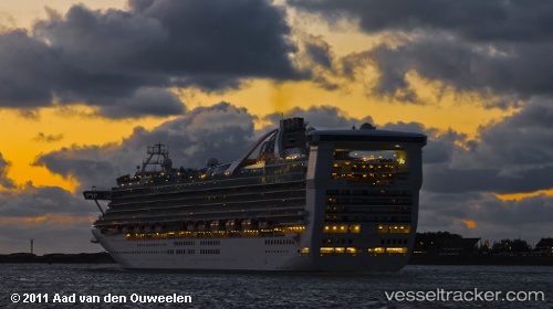
Vessel profile: CARNIVAL ENCOUNTER is a Passengers Ship with dimensions m x m.
This page combines live AIS, route history, probable destination signals, nearby traffic, and port activity for practical vessel monitoring.
The current position of vessel CARNIVAL ENCOUNTER is -18.54167 lat / 175.29832 lng. Updated: 2026-05-22 10:24:24 UTCNearest reference points:
- Near DENARAU
- Near Denarau
Currently sailing under the flag of Bahamas ![]()
Details:
Live Vessel CARNIVAL ENCOUNTER Analytics (details, animations, etc.)
Recent AIS points (UTC):
2026-05-22 07:54:16 UTC · -18.77167, 174.58667 · SOG 17 kn · COG -1°2026-05-22 08:02:38 UTC · -18.75785, 174.62646 · SOG 17.2 kn · COG 68°
2026-05-22 09:33:31 UTC · -18.61540, 175.05841 · SOG 16.8 kn · COG 70°
2026-05-22 10:24:24 UTC · -18.54167, 175.29832 · SOG 17 kn · COG -1°