 AMSTERDAM EXPRESS
Current Status
Where is the vessel?
AMSTERDAM EXPRESS is currently in Near Savannah, based on AIS data received about 14h ago.
Latest AIS update:
Current position: 32.12639° N, 81.13670° W (Near Savannah)
Average speed (last 7 days): Loading…
Average speed (last 30 days): Loading…
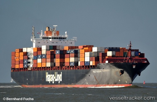
Vessel profile: AMSTERDAM EXPRESS is a Container Ship with dimensions m x m.
This page combines live AIS, route history, probable destination signals, nearby traffic, and port activity for practical vessel monitoring.
The current position of vessel AMSTERDAM EXPRESS is 32.12639 lat / -81.13670 lng. Updated: 2026-05-21 06:28:15 UTCNearest reference points:
- Near Saint Andrews
- Near Brunswick
- 33 nm S of Kiawah Island
Currently sailing under the flag of Liberia ![]()
Details:
Live Vessel AMSTERDAM EXPRESS Analytics (details, animations, etc.)
Recent AIS points (UTC):
2026-05-21 02:16:15 UTC · 32.12647, -81.13670 · SOG 0 kn · COG 157°2026-05-21 03:43:15 UTC · 32.12644, -81.13668 · SOG 0 kn · COG 157°
2026-05-21 04:40:14 UTC · 32.12644, -81.13671 · SOG 0 kn · COG 157°
2026-05-21 06:28:15 UTC · 32.12639, -81.13670 · SOG 0 kn · COG 157°