 KETTER
Current Status
Where is the vessel?
KETTER is currently in 25 nm S of Havdhem, based on AIS data received about 14h ago.
Latest AIS update:
Current position: 56.73577° N, 18.37687° E (25 nm S of Havdhem)
Average speed (last 7 days): Loading…
Average speed (last 30 days): Loading…
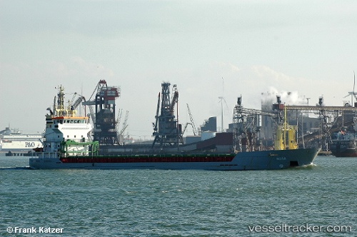
Vessel profile: KETTER is a General Cargo with dimensions 95m x 13m.
This page combines live AIS, route history, probable destination signals, nearby traffic, and port activity for practical vessel monitoring.
The current position of vessel KETTER is 56.73577 lat / 18.37687 lng. Updated: 2026-05-22 23:28:38 UTCNearest reference points:
- 39 nm W of Pilies juru uosto PVP/Klaipeda
- Near WLADYSLAWOWO
- 17 nm W of Gusevka
Currently sailing under the flag of Malta ![]()
KETTER built in 2000 year
Deadweight:
5050 tDetails:
ex Taha
Live Vessel KETTER Analytics (details, animations, etc.)
Recent AIS points (UTC):
2026-05-22 20:01:38 UTC · 56.26402, 17.81688 · SOG 10.1 kn · COG 25°2026-05-22 21:43:18 UTC · 56.52347, 18.03016 · SOG 9.9 kn · COG 25°
2026-05-22 23:10:18 UTC · 56.70108, 18.31144 · SOG 9.8 kn · COG 46°
2026-05-22 23:28:38 UTC · 56.73577, 18.37687 · SOG 9.7 kn · COG 46°