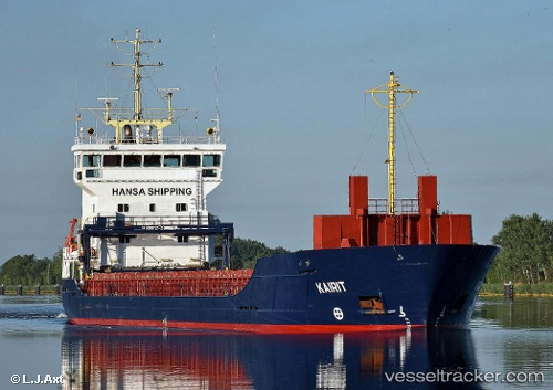
 KAIRIT
Current Status
Where is the vessel?
KAIRIT is currently in 14 nm E of MERSRAGS, based on AIS data received about 15h ago.
Latest AIS update:
Current position: 57.32648° N, 23.56562° E (14 nm E of MERSRAGS)
Average speed (last 7 days): Loading…
Average speed (last 30 days): Loading…
Vessel profile: KAIRIT is a General Cargo with dimensions m x m.
This page combines live AIS, route history, probable destination signals, nearby traffic, and port activity for practical vessel monitoring.
The current position of vessel KAIRIT is 57.32648 lat / 23.56562 lng. Updated: 2026-05-23 07:46:55 UTCNearest reference points:
- Near Bullu
- Near Riga
- Near Ristna
Currently sailing under the flag of Antigua and Barbuda ![]()
Details:
Live Vessel KAIRIT Analytics (details, animations, etc.)
Recent AIS points (UTC):
2026-05-23 04:01:17 UTC · 57.00605, 24.11383 · SOG 0 kn · COG 46°2026-05-23 06:18:44 UTC · 57.14113, 23.89810 · SOG 10.7 kn · COG 316°
2026-05-23 07:30:36 UTC · 57.29147, 23.62820 · SOG 10.6 kn · COG 315°
2026-05-23 07:46:55 UTC · 57.32648, 23.56562 · SOG 10.9 kn · COG 315°