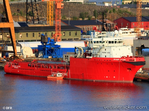
 HAI DUONG 106
Current Status
Where is the vessel?
HAI DUONG 106 is currently in 10 nm SE of Cape St. Jacques, based on AIS data received about 15h ago.
Latest AIS update:
Current position: 10.26489° N, 107.22065° E (10 nm SE of Cape St. Jacques)
Average speed (last 7 days): Loading…
Average speed (last 30 days): Loading…
Vessel profile: HAI DUONG 106 is a Anchor Handling Vessel with dimensions m x m.
This page combines live AIS, route history, probable destination signals, nearby traffic, and port activity for practical vessel monitoring.
The current position of vessel HAI DUONG 106 is 10.26489 lat / 107.22065 lng. Updated: 2026-05-18 19:54:11 UTCNearest reference points:
- 12 nm SE of Cape St. Jacques
- Near Cape St. Jacques
- 11 nm SE of Cape St. Jacques
Currently sailing under the flag of Panama ![]()
Details:
Live Vessel HAI DUONG 106 Analytics (details, animations, etc.)
Recent AIS points (UTC):
2026-05-18 16:21:10 UTC · 10.24163, 107.72863 · SOG 7.9 kn · COG 262°2026-05-18 18:13:40 UTC · 10.23467, 107.45830 · SOG 8.9 kn · COG 280°
2026-05-18 19:50:50 UTC · 10.26368, 107.22782 · SOG 7.6 kn · COG 280°
2026-05-18 19:54:11 UTC · 10.26489, 107.22065 · SOG 7.8 kn · COG 280°