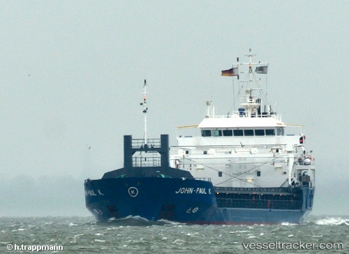
 ALEXANDRA S
Current Status
Where is the vessel?
ALEXANDRA S is currently in 37 nm E of Akhtopol, based on AIS data received about 14h ago.
Latest AIS update:
Current position: 42.27333° N, 28.75500° E (37 nm E of Akhtopol)
Average speed (last 7 days): Loading…
Average speed (last 30 days): Loading…
Vessel profile: ALEXANDRA S is a General Cargo with dimensions m x m.
This page combines live AIS, route history, probable destination signals, nearby traffic, and port activity for practical vessel monitoring.
The current position of vessel ALEXANDRA S is 42.27333 lat / 28.75500 lng. Updated: 2026-05-21 18:01:41 UTCNearest reference points:
- 38 nm E of IGNEADA
- 18 nm N of Istanbul New Airport
- 45 nm N of RUMELI FENERI
Currently sailing under the flag of Bahamas ![]()
Details:
Live Vessel ALEXANDRA S Analytics (details, animations, etc.)
Recent AIS points (UTC):
2026-05-21 16:04:05 UTC · 42.56744, 28.65674 · SOG 9.1 kn · COG -1°2026-05-21 17:09:11 UTC · 42.41438, 28.70958 · SOG 9.1 kn · COG -1°
2026-05-21 18:01:41 UTC · 42.27333, 28.75500 · SOG 9 kn · COG -1°
2026-05-21 18:01:41 UTC · 42.27333, 28.75500 · SOG 9 kn · COG -1°