 MARIA S
Current Status
Where is the vessel?
MARIA S is currently in Near Gelibolu, based on AIS data received about 14h ago.
Latest AIS update:
Current position: 40.37589° N, 26.68057° E (Near Gelibolu)
Average speed (last 7 days): Loading…
Average speed (last 30 days): Loading…
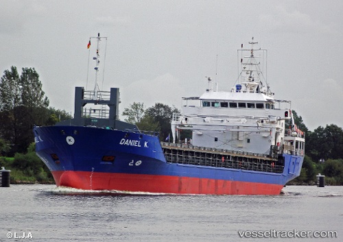
Vessel profile: MARIA S is a General Cargo with dimensions m x m.
This page combines live AIS, route history, probable destination signals, nearby traffic, and port activity for practical vessel monitoring.
The current position of vessel MARIA S is 40.37589 lat / 26.68057 lng. Updated: 2026-05-21 13:56:06 UTCNearest reference points:
- Near Gelibolu
- Near Dardanelles
- Near Sarköy
Currently sailing under the flag of Bahamas ![]()
Details:
Live Vessel MARIA S Analytics (details, animations, etc.)
Recent AIS points (UTC):
2026-05-21 10:54:26 UTC · 40.06439, 26.31241 · SOG 9.2 kn · COG 43°2026-05-21 11:24:56 UTC · 40.11516, 26.37101 · SOG 7.4 kn · COG 44°
2026-05-21 13:07:27 UTC · 40.28433, 26.56687 · SOG 9.1 kn · COG 45°
2026-05-21 13:56:06 UTC · 40.37589, 26.68057 · SOG 9.4 kn · COG 34°