 ARRIBA
Current Status
Where is the vessel?
ARRIBA is currently in 102 nm S of Chabahar, based on AIS data received about 14h ago.
Latest AIS update:
Current position: 23.63500° N, 61.05500° E (102 nm S of Chabahar)
Average speed (last 7 days): Loading…
Average speed (last 30 days): Loading…
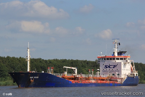
Vessel profile: ARRIBA is a Oil/Chemical Tanker with dimensions m x m.
This page combines live AIS, route history, probable destination signals, nearby traffic, and port activity for practical vessel monitoring.
The current position of vessel ARRIBA is 23.63500 lat / 61.05500 lng. Updated: 2026-05-22 21:55:37 UTCNearest reference points:
- 97 nm S of Chabahar
- 52 nm NE of SUR
- 59 nm S of Chah Bahar
Currently sailing under the flag of Palau ![]()
Details:
Live Vessel ARRIBA Analytics (details, animations, etc.)
Recent AIS points (UTC):
2026-05-22 17:34:49 UTC · 23.57294, 61.73809 · SOG 11 kn · COG 269°2026-05-22 18:18:20 UTC · 23.58711, 61.62644 · SOG 8.6 kn · COG 270°
2026-05-22 18:18:20 UTC · 23.58711, 61.62644 · SOG 8.6 kn · COG 270°
2026-05-22 21:55:37 UTC · 23.63500, 61.05500 · SOG 8 kn · COG -1°