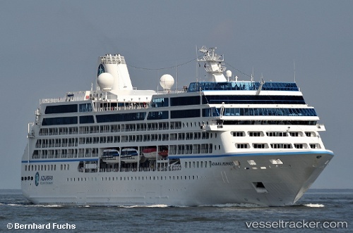
 AZAMARA JOURNEY
Current Status
Where is the vessel?
AZAMARA JOURNEY is currently in 16 nm SW of Six-Fours-les-Plages, based on AIS data received about 15h ago.
Latest AIS update:
Current position: 42.84134° N, 5.66099° E (16 nm SW of Six-Fours-les-Plages)
Average speed (last 7 days): Loading…
Average speed (last 30 days): Loading…
Vessel profile: AZAMARA JOURNEY is a Passengers Ship with dimensions m x m.
This page combines live AIS, route history, probable destination signals, nearby traffic, and port activity for practical vessel monitoring.
The current position of vessel AZAMARA JOURNEY is 42.84134 lat / 5.66099 lng. Updated: 2026-05-22 04:22:50 UTCNearest reference points:
- Near Six-Fours-les-Plages
- Near LA CIOTAT
- Near SAINT MANDRIER
Currently sailing under the flag of Marshall Islands ![]()
Details:
Live Vessel AZAMARA JOURNEY Analytics (details, animations, etc.)
Recent AIS points (UTC):
2026-05-22 01:27:56 UTC · 42.47777, 4.81950 · SOG 15 kn · COG 57°2026-05-22 02:08:56 UTC · 42.56867, 5.01259 · SOG 14.4 kn · COG 59°
2026-05-22 04:05:07 UTC · 42.81350, 5.57158 · SOG 14.6 kn · COG 69°
2026-05-22 04:22:50 UTC · 42.84134, 5.66099 · SOG 14.6 kn · COG 65°